
During the Azerbaijani aggression, weapons between Armenian and Azerbaijan were incomparable in quantity and strength. Azerbaijan used state-of-the-art equipment, including strike and reconnaissance drones, ballistic missiles and fighter jets.
Victories during the war were presented mainly through video recordings. The Artsakh Defence Army started filming with drones towards the end of the aggression,
while Azerbaijani forces used drones from the first days, and they actively used themd to obtain intelligence and to strike.
However, Drones were not the only ones used to monitor Artsakh.
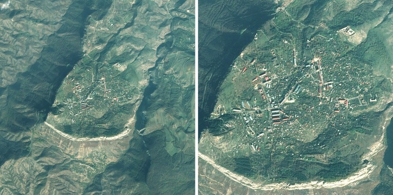
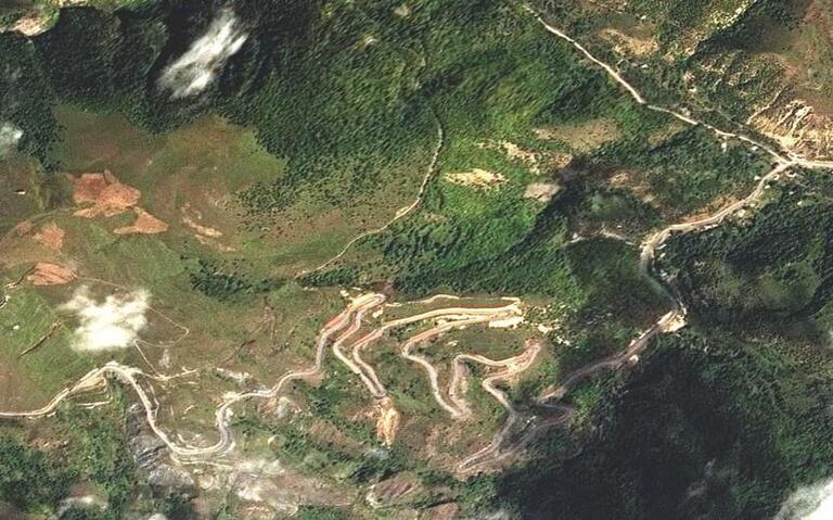
Azerbaijan heavily used satellites to monitor Armenia and Artsakh, to get accurate coordinates and take high-resolution images.
The Azerbaijani Ministry of Communication and Information established the satellite facility Azercosmos in 2010 for telecommunications.
Azerbaijan has three satellites:
1- Azerspace-1, which covered Europe, Africa, the Middle East, Central Asia and the Caucasus, its purpose is to broadcast radio and television.
2- Azerspace-2, launched in 2018 and it is for radio and television broadcast too.
3- Spot7 later Azersky, launched in 2014, and it is for Earth Observations.
What is Azersky?
The Azerbaijani Azersky satellite is designed for earth observations.
Azercosmos satellite company has signed a strategic cooperation agreement with the French company Airbus Defence System to buy and operate the Spot 7 satellite.
According to the agreement, the cooperation between them, brings joint operation of Azerbaijani Azersky and French Spot-6 satellites and joint production of high-quality satellite imagery, which it means that they can monitor any part of the world in high resolution.
Dan Radu, General Commercial Director of Azercosmos, confirmed it Apr 5, 2017 .
Both satellites, Spot-6 and Azersky can cover 6 million square kilometres per day, which is about 201 times more than the territory of Armenia. The contract states that the French and the Azerbaijani process the data and transfer it to each other, train specialists and exchange skills.
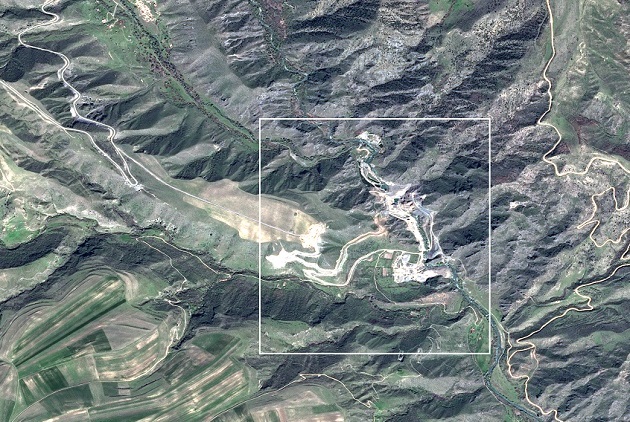
The satellite can monitor the territory of Armenia and Artsakh every day. The two satellites can create topographic maps at a scale of 1: 25000, They can observe even in foggy weather, and they can produce digital terrain models with 5 to 10 meters accuracy.
During and before the war, Azerbaijan observed Armenia and Artsakh, got the coordinates and targets, And, to conclude, Azerbaijan and French engineers used French-made satellites (Azersky and Spot-6) to find targets in Artsakh, to know the exact coordinates and to strike.
